SatMeasure
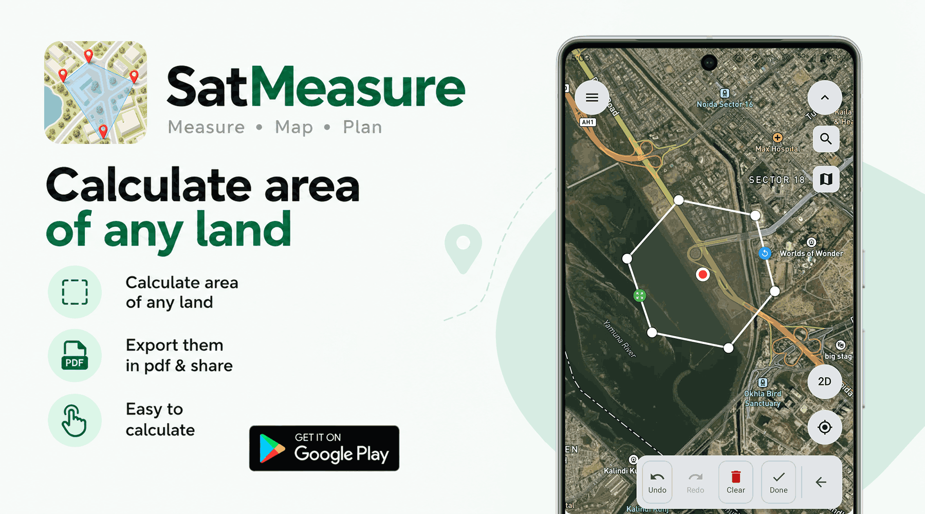
SatMeasure transforms complex geospatial calculation into a seamless experience. By combining high-resolution satellite imagery with localized measurement units, anyone can measure land area with professional accuracy directly from their device.
About the Project
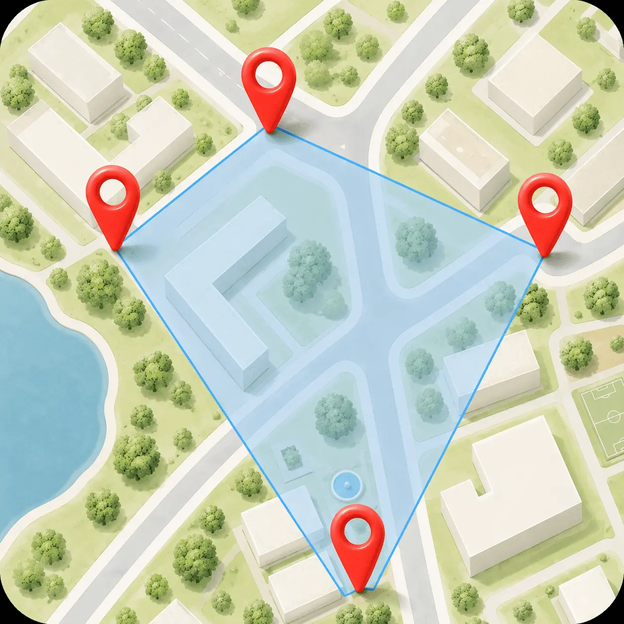
Land measurement tools are traditionally complex and geared toward enterprise use. SatMeasure was built to democratize this process, giving everyday users an incredibly simple UI to calculate land area via satellite view using intuitive drawing and pin-drop mechanics.
We engineered the application to support highly localized perimeters and units (such as Bigha), automatically adapting to regional standards. The mapping engine is heavily optimized for smooth orientation changes and precise edge-calculation, making mobile land measurement faster and more reliable than ever.
Provided Services
- Mobile App Development
- Geospatial Mapping
- UI/UX Design
Tech Stack
Key Results & Outcomes
Engineered a flawless satellite map interface with pin-drop and freehand draw capabilities.
Integrated dynamic local measurement unit conversions (e.g., Bigha, Acres).
Optimized map rendering for seamless orientation changes and high precision.
More Projects
View all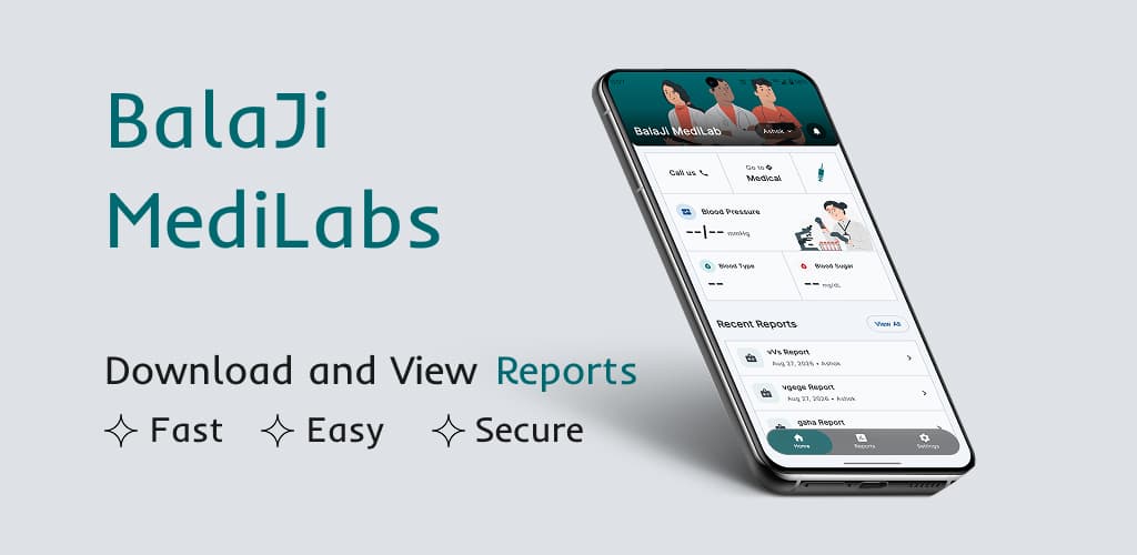
BalaJi MediLabs
A seamless patient portal that allows doctors to securely upload reports and vitals, giving patients instant, 24/7 access to download and share their medical records.

My City
A comprehensive local guide that helps you discover nearby hidden gems while providing accurate, real-time weather forecasts for any destination you choose to visit.
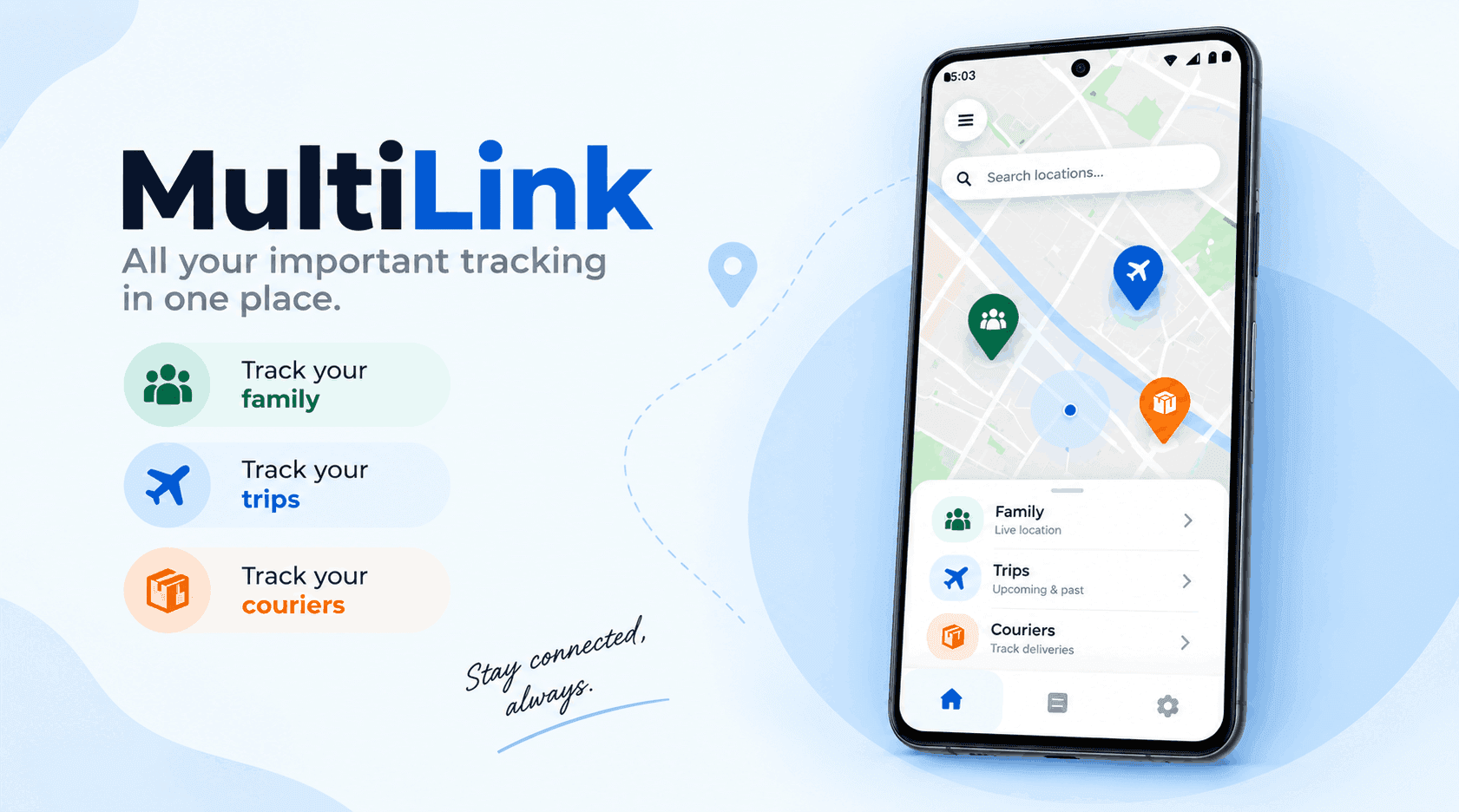
MultiLink
A unified tracking application that aggregates real-time data for family members, trips, and couriers into a single, comprehensive map view.